Iceland 2018: Travel report (part 3)
Day 8: Hólmsárlón → Strútslaug
Jul 25, 2018
After one night at the Hólmsárlón, we had three options at the next day:
- Go back and ford the small river Hólmsá, which comes out of the lake
- Go up the hill, which we climbed down the day before, and follow the lake from above. Unfortunately, we wouldn’t be able to go down on the other side, the hill looked very steep on our map.
- Follow the shore or the lake which looked quite challenging.
We decided to try the third option and walked directly next to the water. As we discussed in our article about travel preparations, we searched for alternatives and chose the most comfortable one.
After some time we had to climb over a small cliff going into the lake. But apart from that, we were able to walk along the lake the whole time.
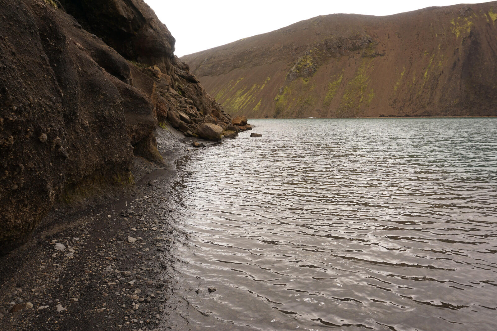
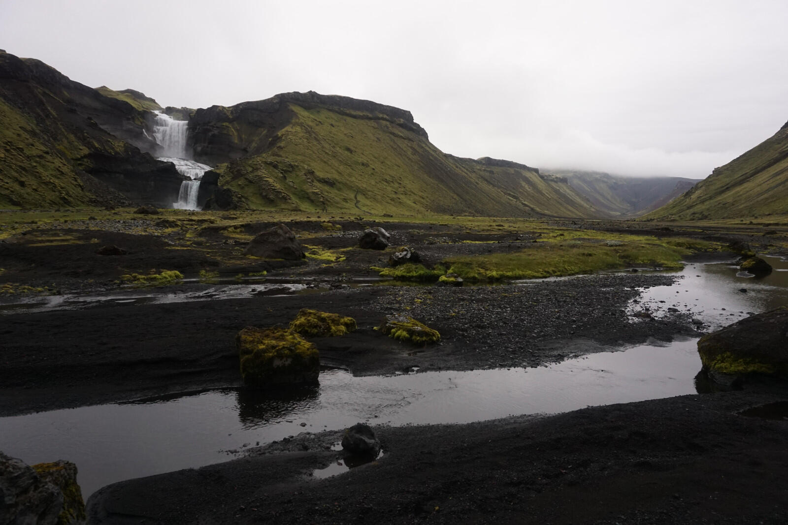
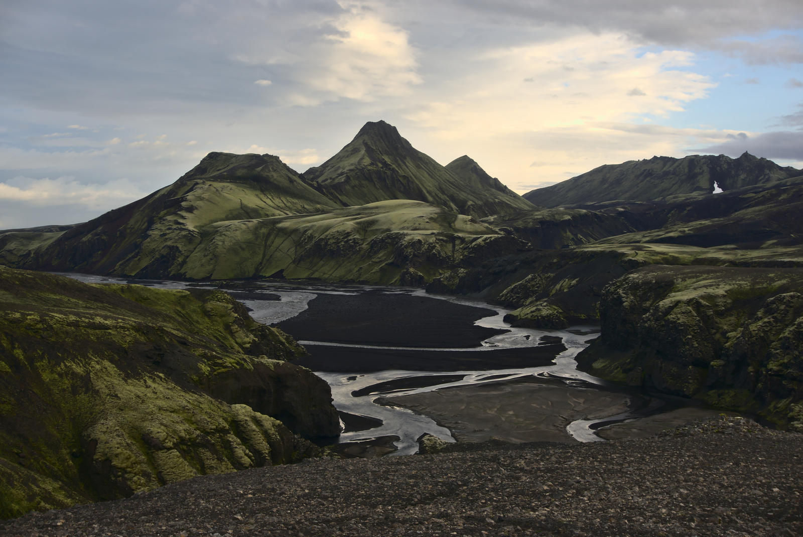
The river delta Hólmsárbotnar
After approx. three hours we reached the other side (the northern part) of the lake where a lot of smaller and larger streams and rivers flowed into the lake. They all together formed a huge river delta we had to cross (approx 2 km² / 1.2 mi² large). Shortly after we reached the delta, it began to rain and it was getting stronger as we crossed the cold streams and the swampy terrain.
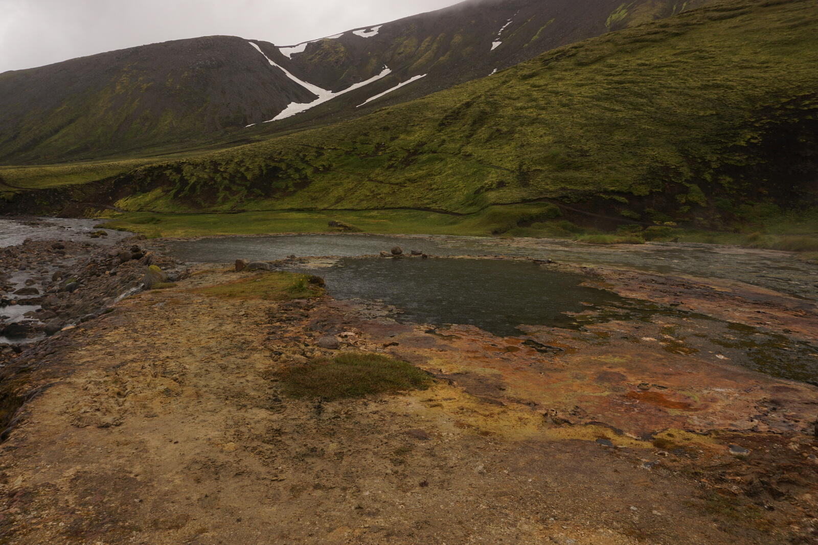
After an hour, we reached the other side of the delta, where the hot spring Strútslaug was waiting for us.
The hot bath
At the Strútslaug we weren’t alone, a family from the USA was brought by an Icelandic tour guide to this beautiful place and they just came out of the warm water. The tour guide even spoke very fluent German and we had a little chat.
After the family left to probably go back to the Strútur campsite, we put on our swimsuits and also took a bath in the wonderfully warm water. The temperature was really warm and very relaxing, especially because of the rain and wind around us.
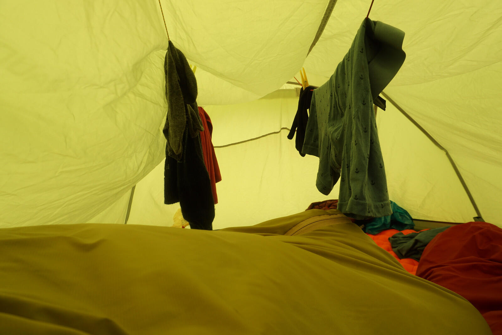
Going out of the water after some time was not so nice and we tried to “dry” ourselves as well as possible. We didn’t want to hike much longer so we decided to build our camp a bit further north near the river Hólmsá and tried to dry our wet swimsuits. My “swimsuit” was by the way just my underpants – save some weight by not taking swimming trunks/swimsuits with you.
Day 9: Strútslaug → Syðri–Ófæra
Jul 26, 2018
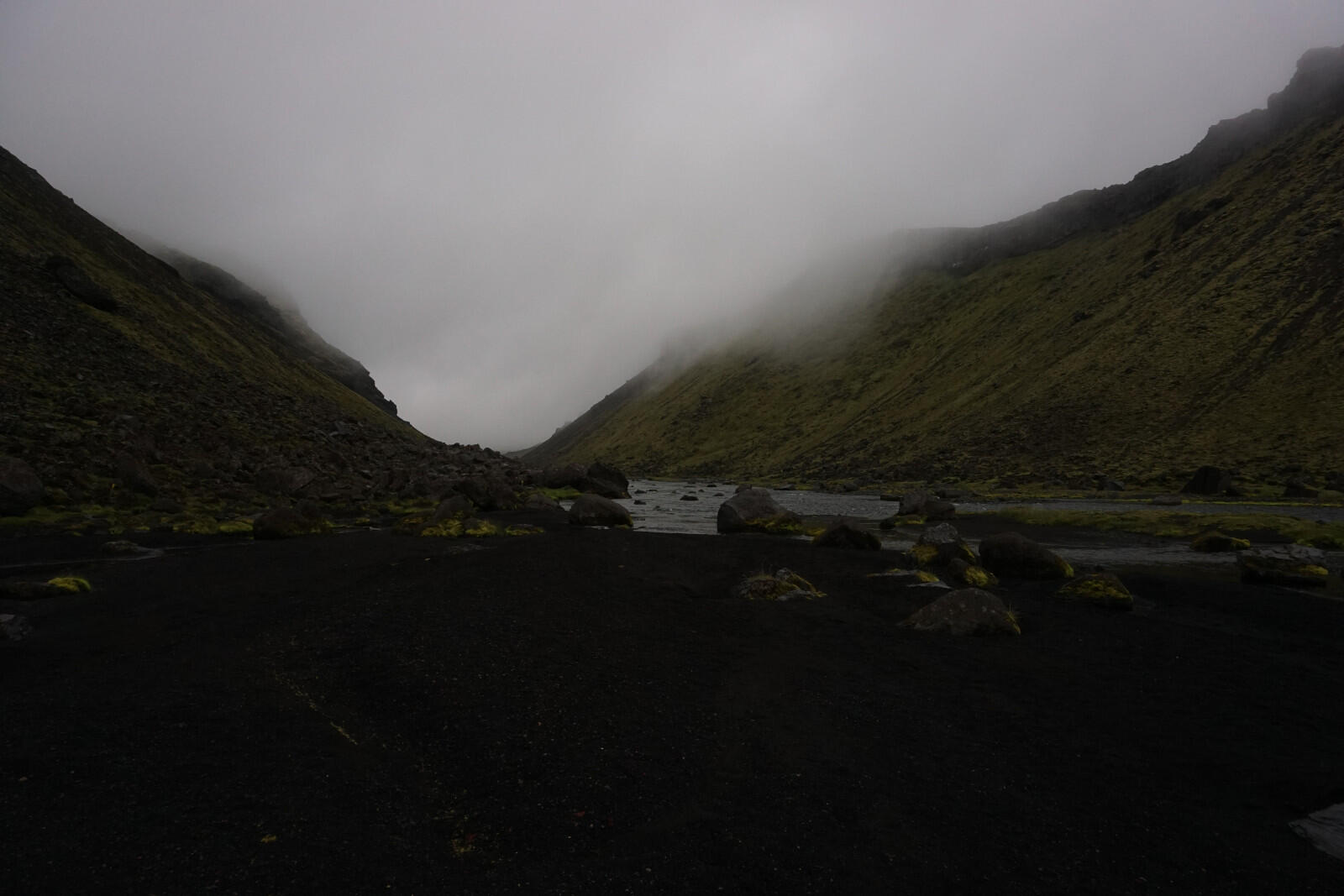
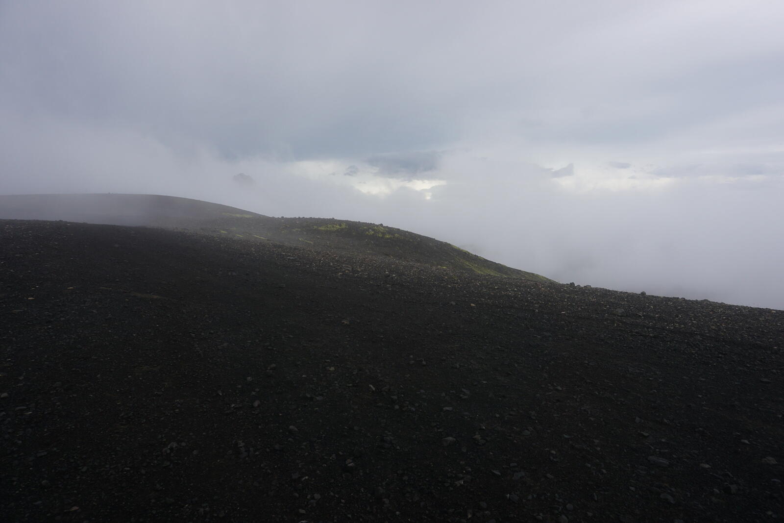
The next day was the only day where I didn’t take a single photo and that had a reason: It was constantly raining the whole day long and, furthermore, it was also very foggy. Although they say that rain and fog never appear together, Þór, however, seems to have a different opinion on that ;)
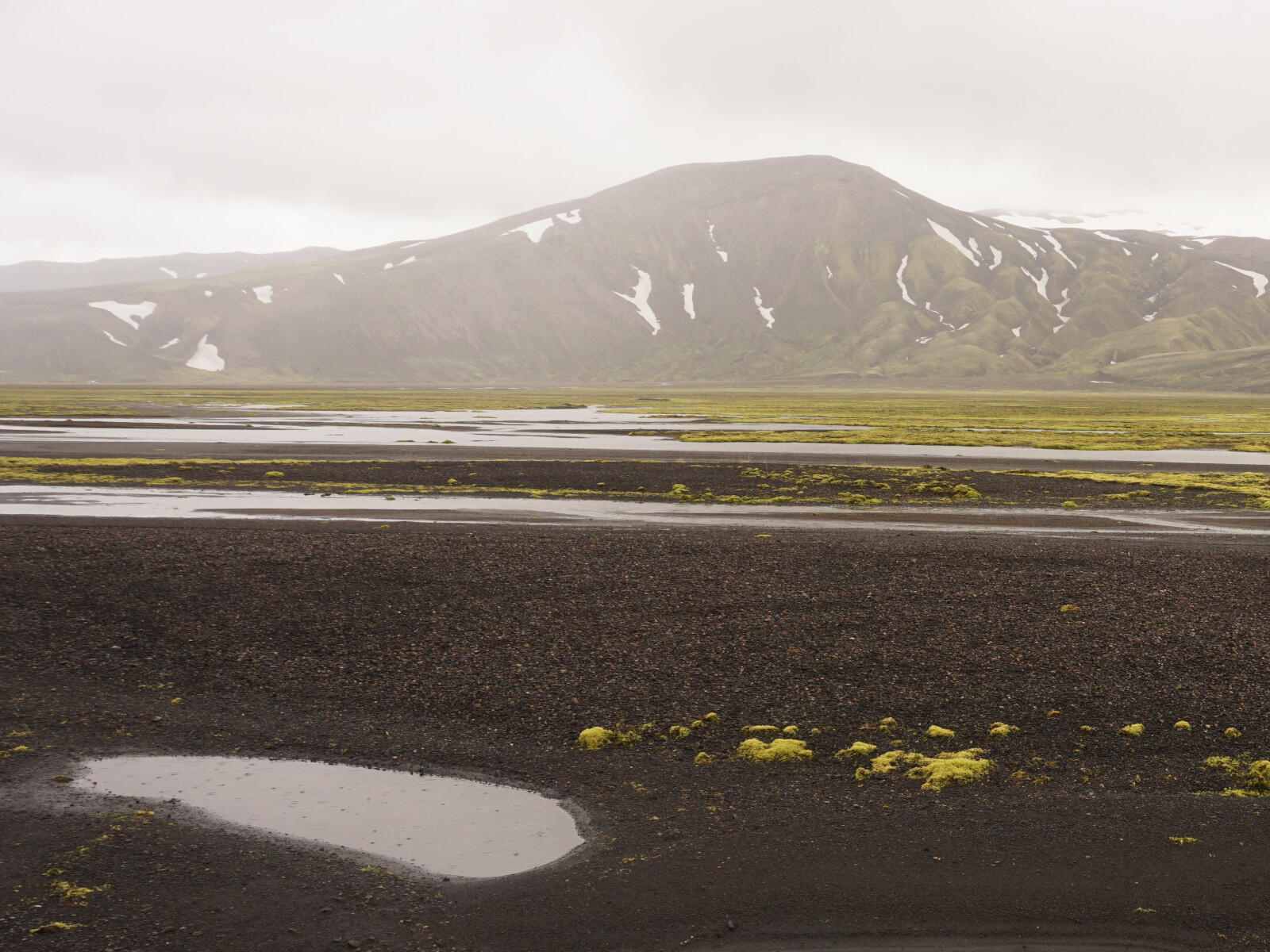
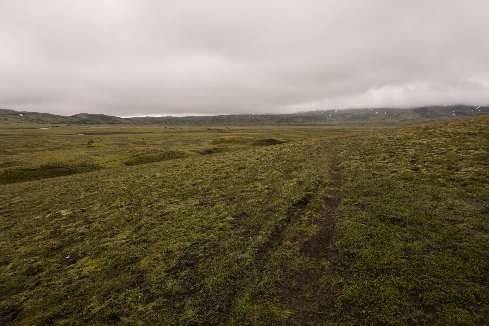
This had another effect: We have no idea where exactly we went but approximately a few kilometers northeast and then east. First between the river Syðri–Ófæra and the plateau Svartahnúksfjöll and later we crossed the southern end of the Eldgjá (the world’s largest volcanic rift), which we hadn’t noticed.
Actually, we should have been walking on hiking trails the whole time, but we lost them and maybe followed some sheep paths. Also, we expected to come along a crossing shortly before entering the Eldgjá where we wanted to go north, but we found neither a trail nor any crossing. So we probably missed it and went too far to the east heading towards the F233, which we noticed in the evening.
Because it was raining the whole day, our rain gear was not waterproof enough for this amount of water and everything became wet – down to our skin. Even our hiking shoes and socks were wet from the inside inside.
I constantly collected water on my elbow (because I used hiking poles) and I was able to pour out the water through my sleeves.
After finding a piste leading to a ford through the Syðri–Ófæra, we build up our camp at that ford. In the evening, we took on some dry clothes and – again – tried to dry our wet clothes but we had no space to dry our wet trousers and jackets.
Day 10: Syðri–Ófæra → Eldgjá
Jul 27, 2018
The next morning looked as bad as the day before. This was the third day with constant rain and our mood was at rock bottom.
Nevertheless, we had to move on and after breakfast, we crossed that ford. Reeeeeally great. Going into wet clothes and directly ford an ice cold river during rain.
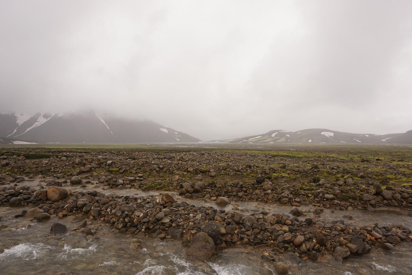
In a relatively bad mood, we went on following some sheep paths along the river. After some time we reached the F233 road at a ford through the Syðri–Ófæra but luckily we already were on the right river side.
And it was light
Suddenly the weather changed completely from rainy at 5°C / 41°F to sunny at 20°C / 68°F. We made a break at the ford and tied all our wet clothes to the outside of our backpacks.
While having a little break and getting some rest, we were able to see the difference between tourists and locals, when fording a river.
Tourists:
A couple considers everything very long and carefully, hesitates, discusses, thinks together, feels helpless and then cancels the whole thing.
Locals:
Woman gets out of the car, takes off her pants, walks into the middle of the river (water went up to her crotch), walks a bit around, goes back to her car and off she goes through the water.
Again through the Eldgjá
We followed the F233 for some time until we switched to a hiking path nearby. This path led us along the Eldgjá to the waterfall Ófærufoss.
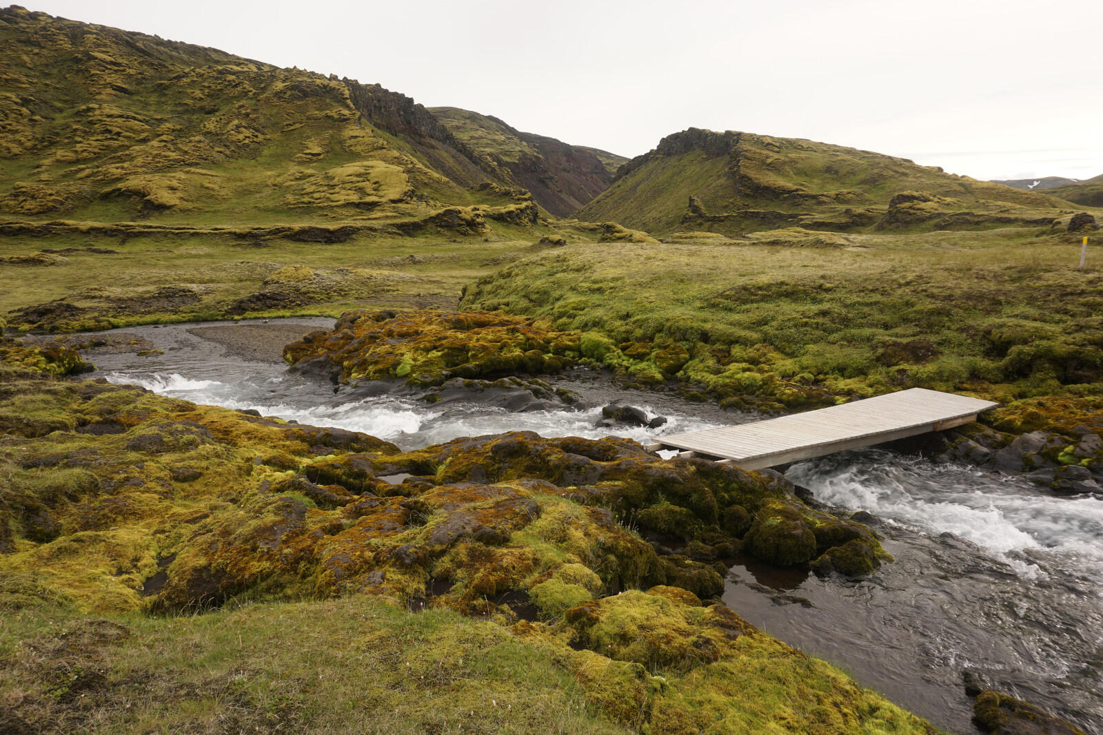
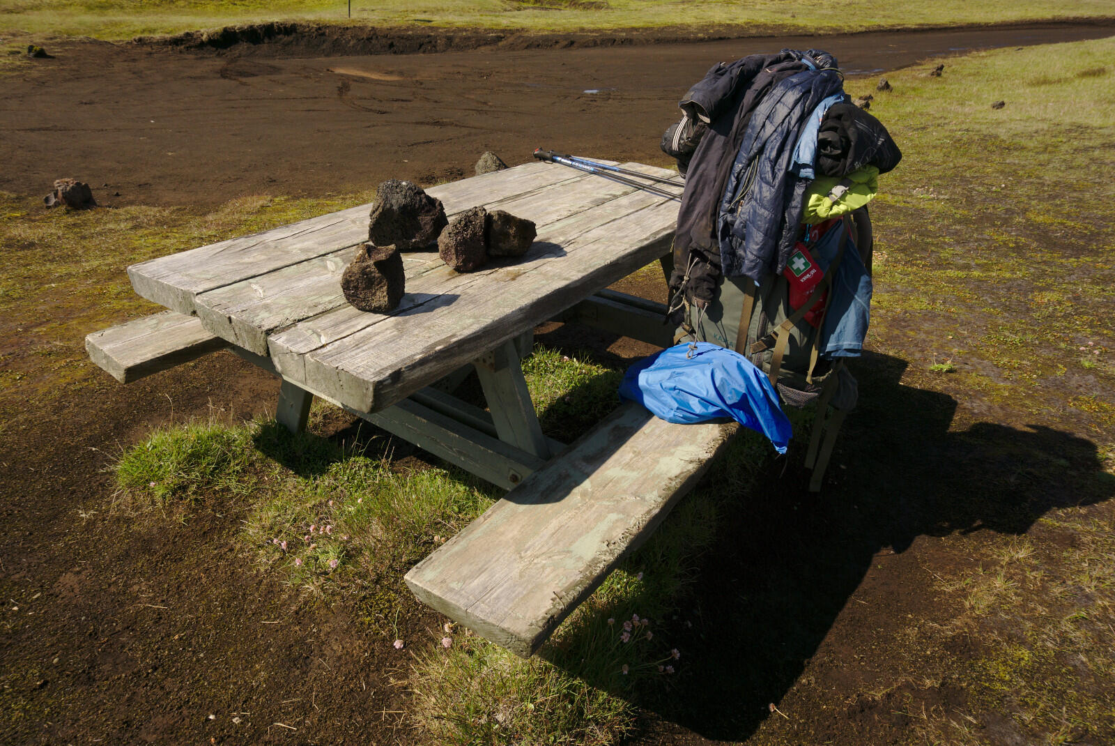
Soon we reached the F223, which leads to the Eldgjá and Ófærufoss. At the end of the F223 there was a big parking area with toilets, an information hut and benches and a well-maintained hiking path to the Ófærufoss.
We were nearly alone when we reached the waterfall, only a father and his son were also there.
A short time later, it became foggy and some clouds flew into the Canyon.
We quickly went further into the Eldgjá canyon. The ground became a swamp and we were only able to walk on the side of the valley but it became a bit better towards the end. Because it was late (11 p.m.) and very foggy, we decided to build up our camp and hide it behind a big rock (to not get caught). You are officially not allowed to camp inside the Eldgjá but it was the only opportunity for us.
Day 11: Eldgjá → Skælingar hut
Jul 28, 2018
To not getting caught, we woke up at 5 a.m. and started hiking at 6 a.m. It was still foggy, so nobody was able to see us, but we just wanted to be safe.
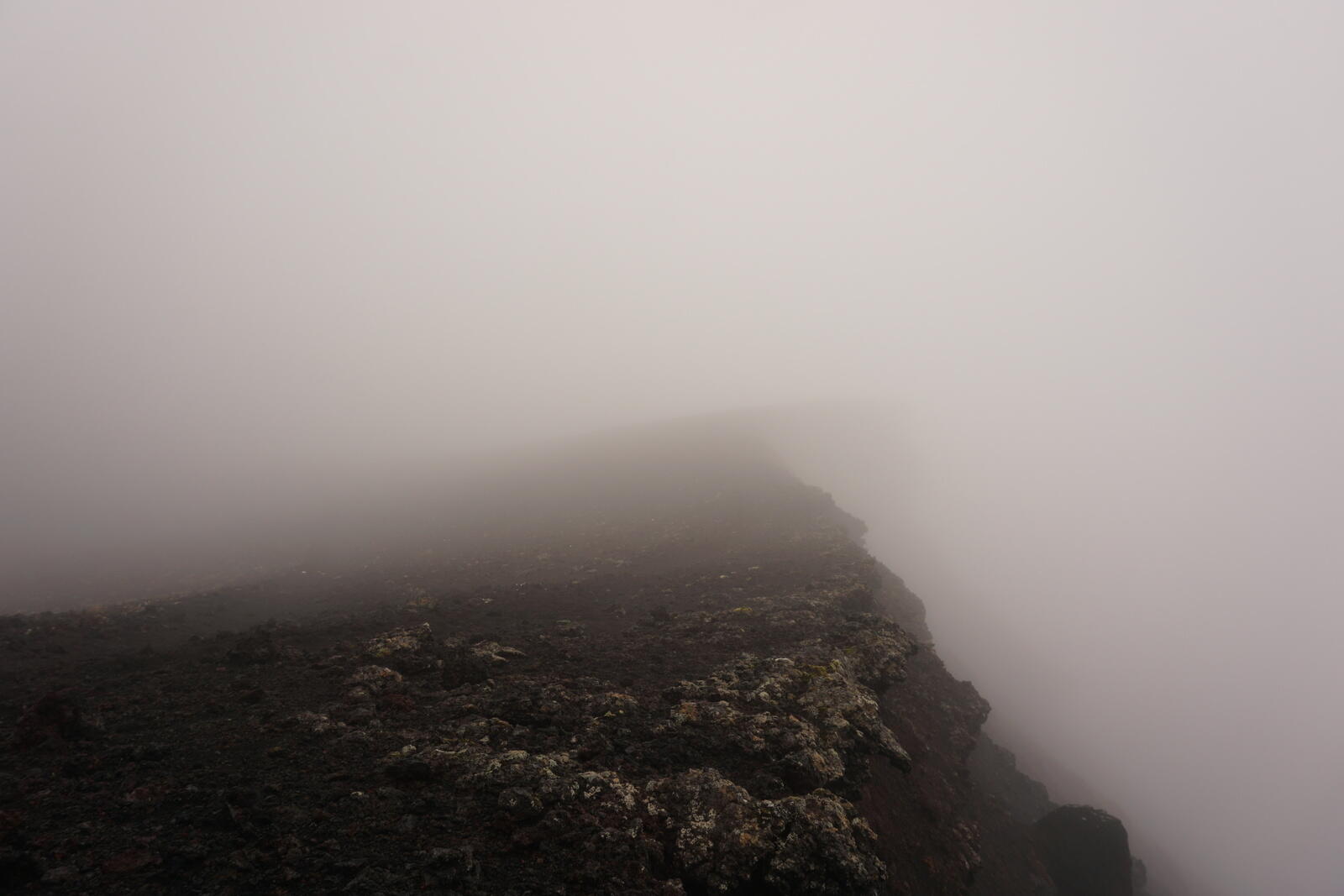
End of the canyon
It was foggy the whole morning and we didn’t find a hiking trail or wooden trailmarks to follow. However, we only knew one way out of the valley, so we started searching for a hiking path. While doing a small break, Kristina finally found it and we followed the small wooden sticks with yellow color on them.
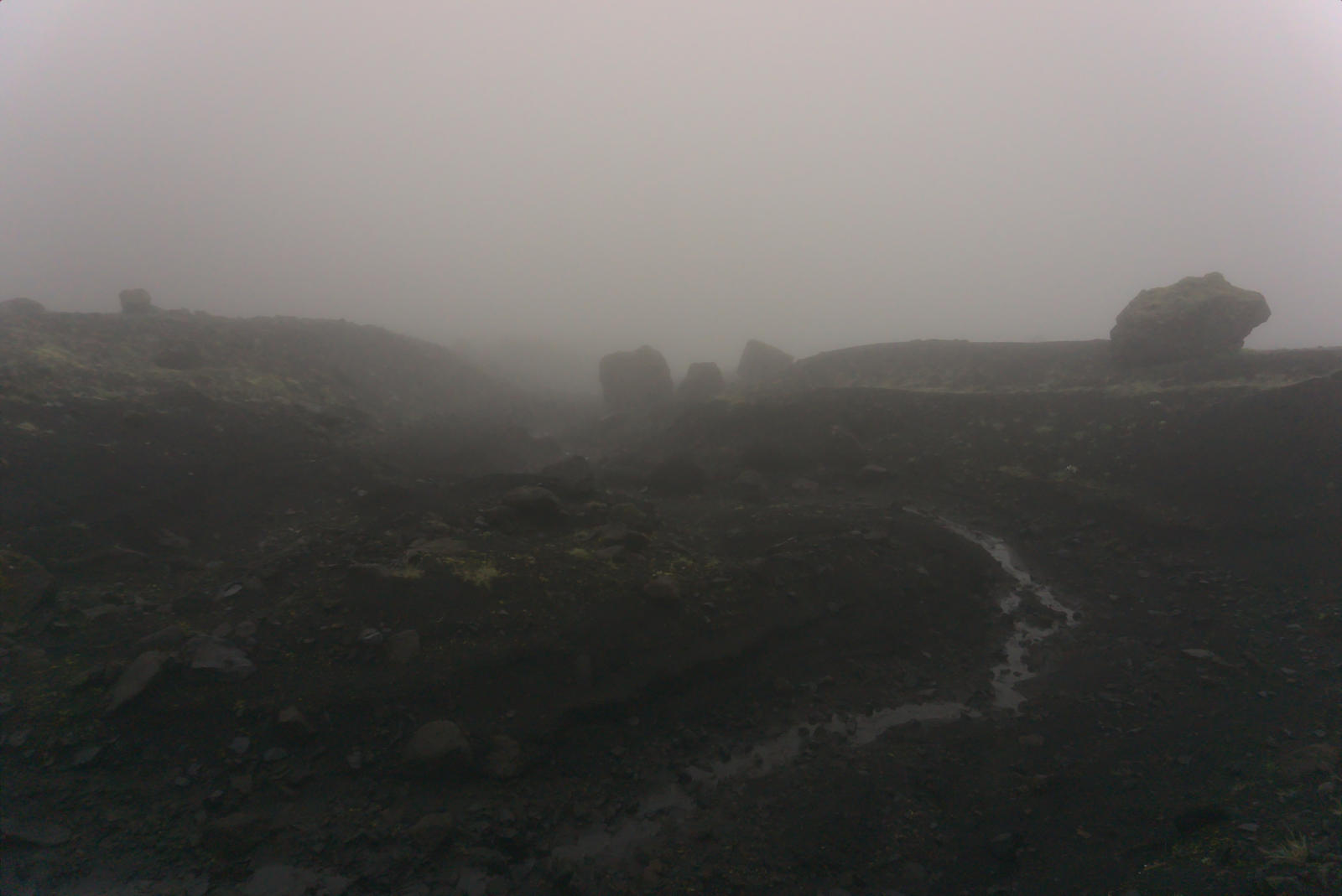
The way out was very steep, consisted only of sand and was not in any way paved or even somehow maintained. Due to the fog, we neither saw the top nor the bottom of the track.
After approximately half an hour, we finally reached the top of the cliff that surrounded the end of the Eldgjá and made a little break.
To the hut
We moved on to the Skælingar hut near the shore of the Skaftá river. As soon as we left the Eldgjá, we moved out of the clouds and finally had sunshine. However, there was still no real hiking trail, just these wooden sticks with yellow markings on them on a green-yellow-mossy background. That was really hard to see, but it’s not fun when it’s too easy :D
During the hike to the hut, we found a dead sheep that looked quite dismembered. Because Iceland doesn’t have large predators (like e.g. wolfs), we wondered how it died.
After some fords through small streams, we reached the hut which is quite near the Skaftá river. The hut belongs to Útivist and is generally open. One can also rent a hut and then the people renting the hut have priority of course.
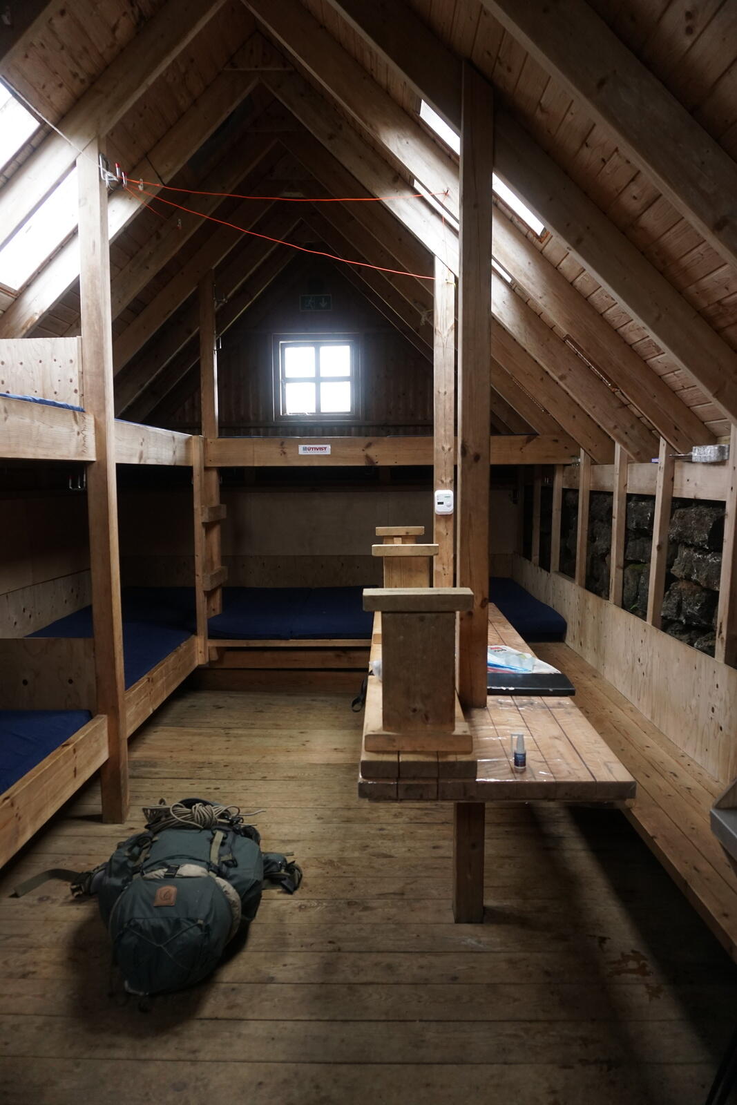
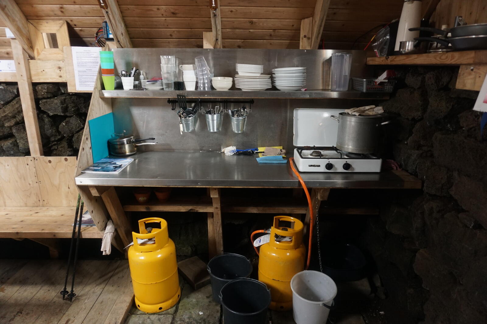
In the protection of the hut, Kristina indulged herself the luxury of washing her hair, so we made warm water and sparingly washed her hair. Because we didn’t had anything to pay, we also didn’t used any of the materials there (e.g. the gas cooker).
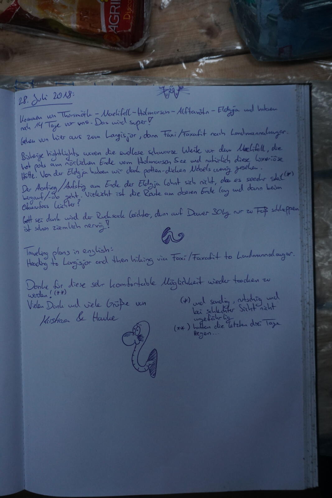
In every hut, there’s a small book where everybody should definitely write something in! You’ll see the reason for that in one of the next travel reports ;)
After some sticky mashed potatoes, which we “refined” with some hard cheese and nuts, we directly went to bed. This time in a real and dry bed – Awesome!
Day 12: Skælingar hut → Sveinstindur emergency shelter
Jul 29, 2018
After waking up, we saw three large black ravens outside the window, which can grow up to 60 cm / 2 ft. At that moment, we knew who hunted, killed or at least ate the sheep from the day before.
After some good breakfast, we started pretty late (at 11:30 a.m.) towards Sveinstindur and had lots of wind. Near Sveinstindur was another hut marked on our map and we planned to stay there.

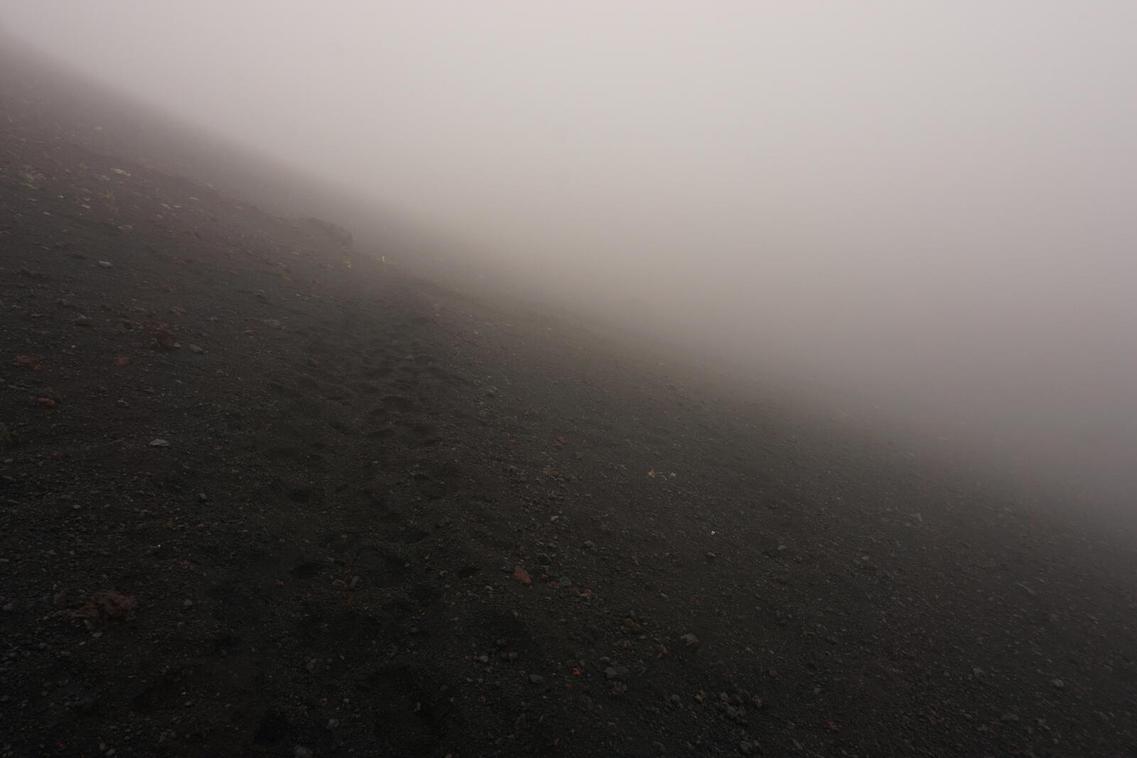
Fog … again …
As we walked up a hill on a piste, it became foggy again, we only were able to see approx. 20 m / 65 ft far this time. At least we were on the correct piste but had to watch out for a left turn where we wanted to leave the piste. Luckily we both had a compass and constantly checked the direction we were walking to.
After some time we saw a guidepost coming out of the fog and we knew that we had to leave the piste at this point. Right at that moment, the fog disappeared and within seconds we had a clear and great view over the landscape.
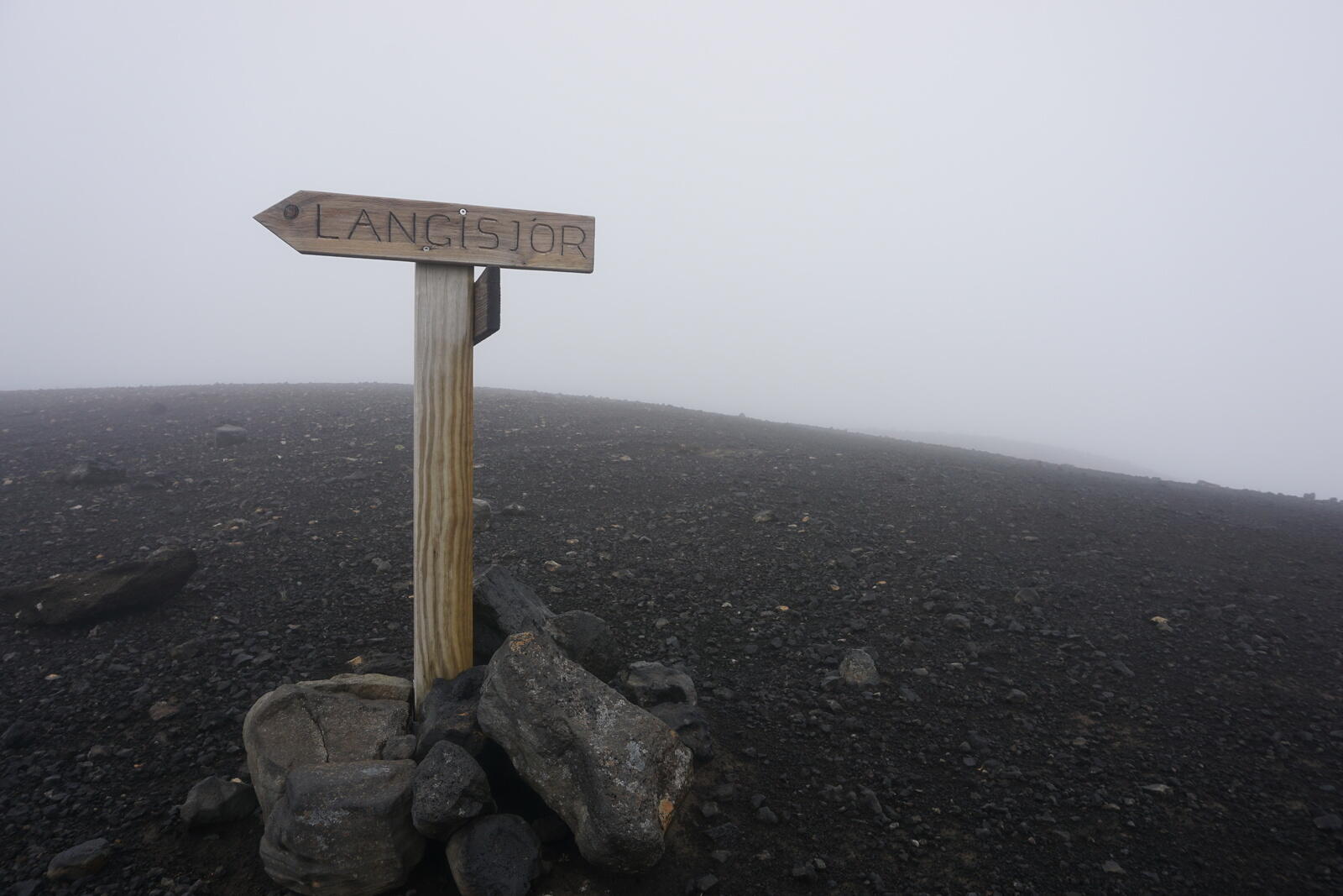
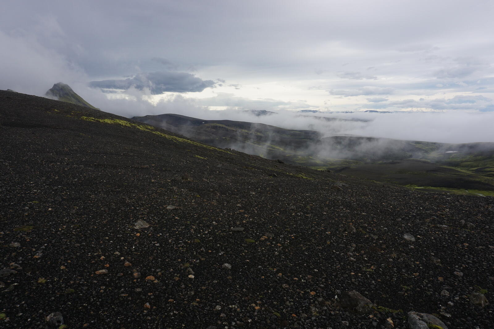
The fog was actually a low-hanging cloud that just passed by, so we enjoyed the view and made a little break. We even were able to see the Uxatindar, three peaks we had to go around.
Along the Skaftá to the emergency shelter
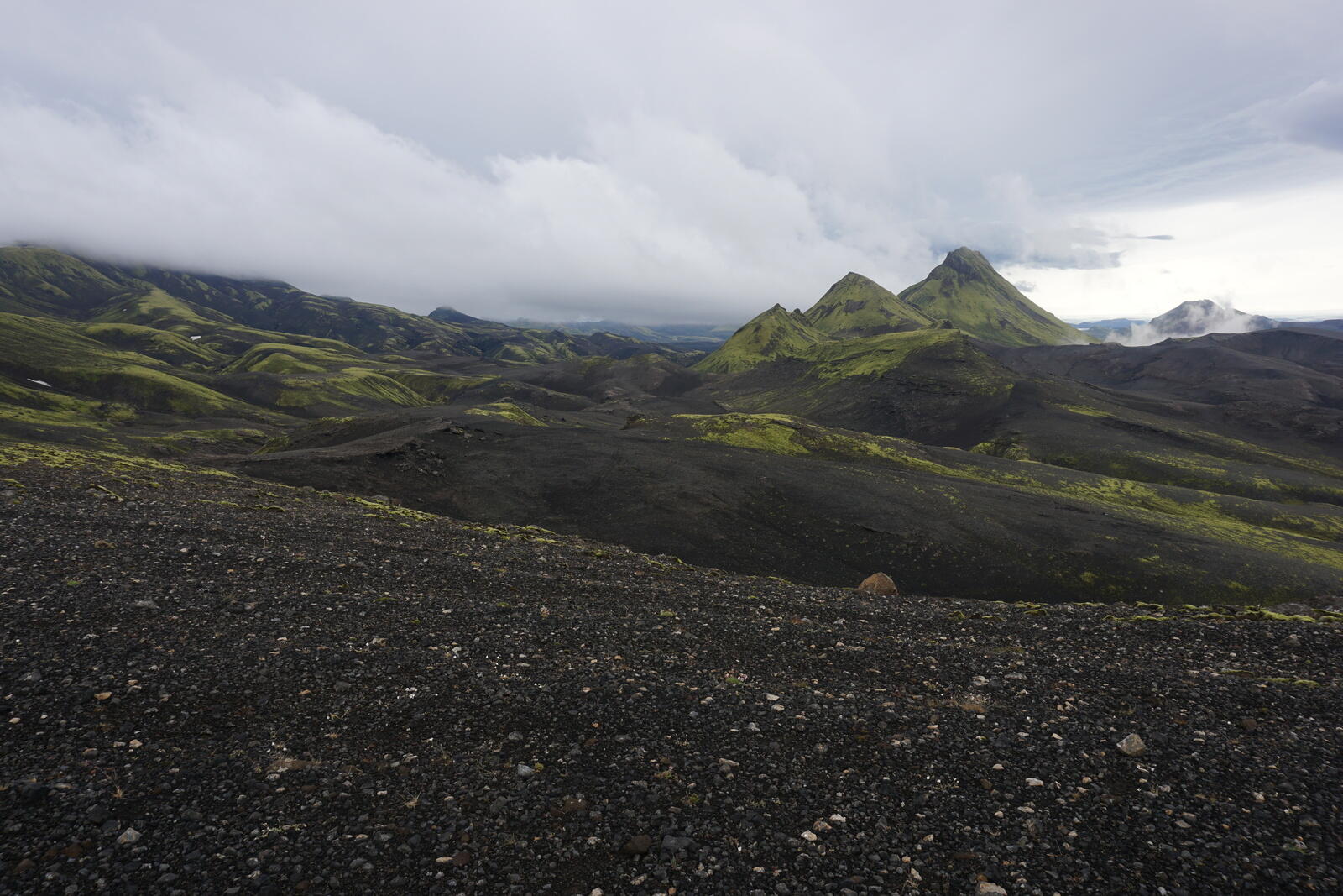
We went around the Uxatindar on the west side on a very good hiking path through a beautiful mini-canyon. It’s probably impossible to go around the east, the Skaftá river is directly next to the mountain.
At the foot of the mountain is a lake and the surroundings were a bit flooded so the trail was under water. On the other side of the lake, we made a little break and followed the hiking path up a hill. It was wind and cold but at least we had a great view over the Skaftá and Uxatindar.
From here the wind became stronger and stronger and it was really exhausting to walk against it. Sometimes the gusts were so strong we were blown over. After a while, we headed a bit down towards the Skaftá and reached a plateau where the river flows over bare rocks without a visible river bed.
After a last and short bit of hiking, we finally ended up at the hit, which was actually an emergency shelter. It was also equipped with a gas cooker, some dishes, some soups, two simple beds, a table and two chairs. Nothing more, nothing less. Because the wind was way to strong for our tent, we stayed here and were quite happy about this little old hut.
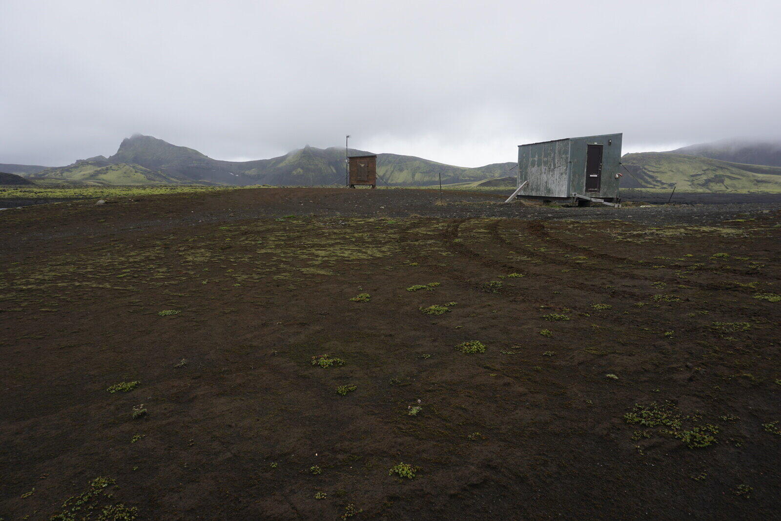
Next to the hut was a second hut (the brown one in the photo), which is some kind of measuring station for maybe weather and the river. We don’t know what’s actually for.
Next report (part 4)
I hope you liked the report and the pictures, the next part is the last one of our journey in 2018.