Multiday tour on the Rheinsteig in the Middle Rhine Valley
In the summer of 2020, I made a five-day tour along the Rheinsteig in central western Germany. Despite the high temperatures, it was a very nice tour and the area is really worth seeing, but more about that in this article.
Show complete mapRoute, accommodations, equipment, etc.
My tour went from Assmannshausen to St. Goarshausen, so I followed a few sections of the Rheinsteig. In total, my tour was about 27 mi / 44 km long and came to a stately 5580 ft / 1.7 km of ascent and descent, which is why the Rheinsteig is also called a roller coaster.
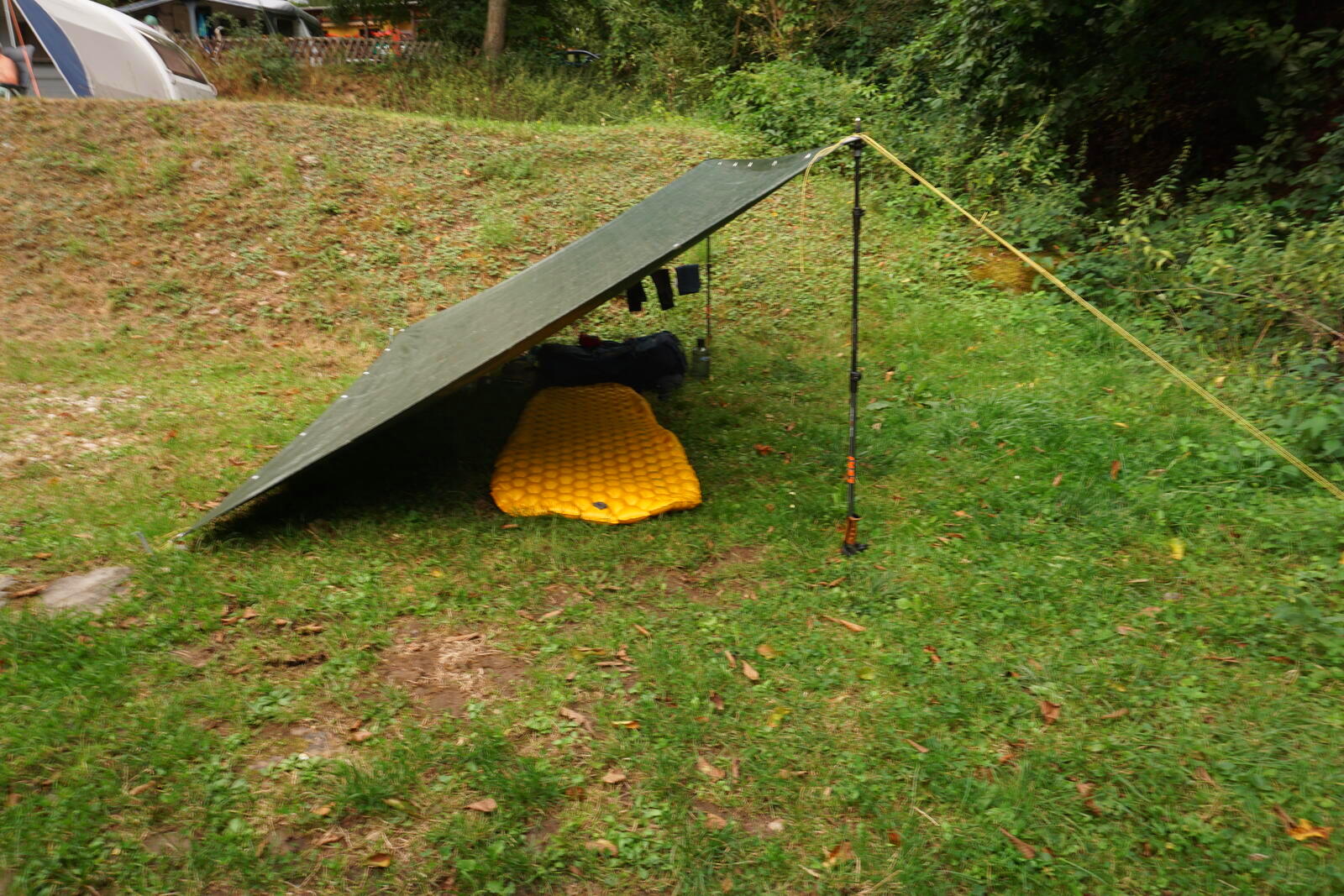
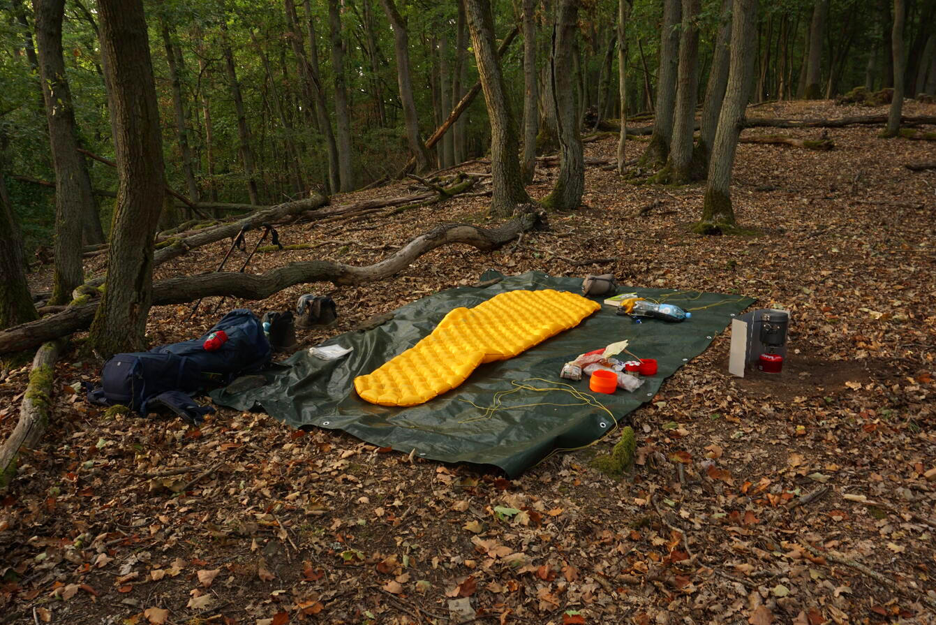
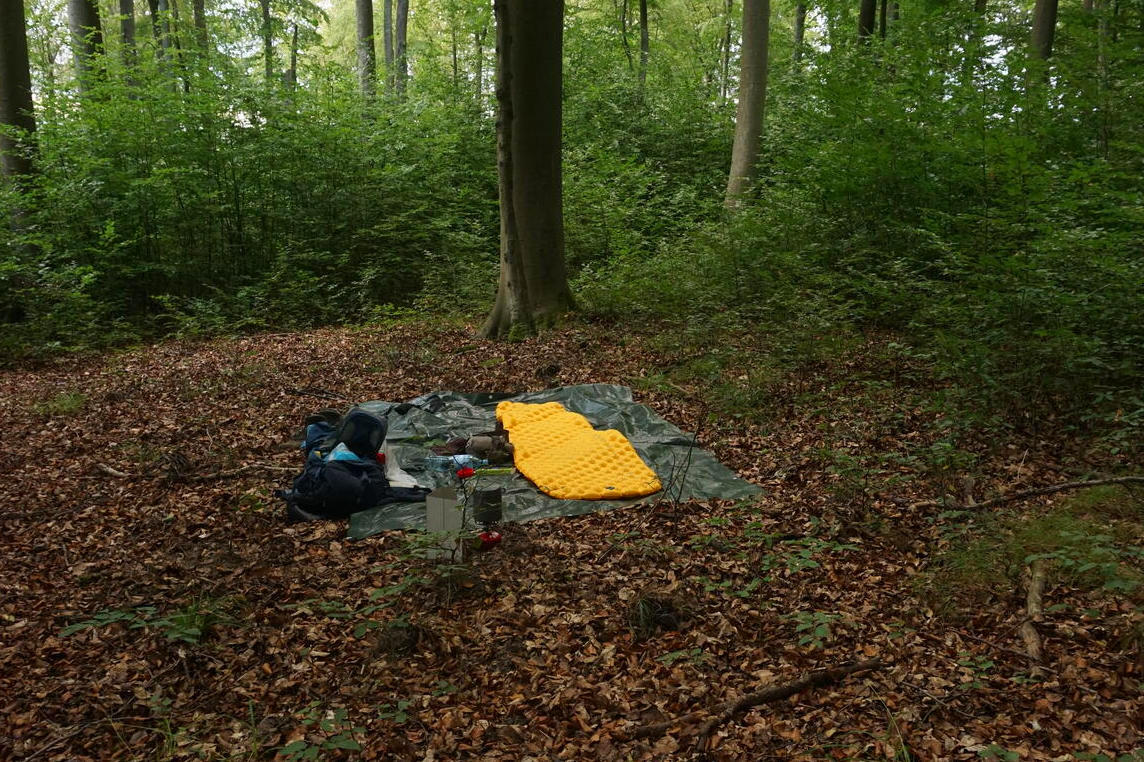
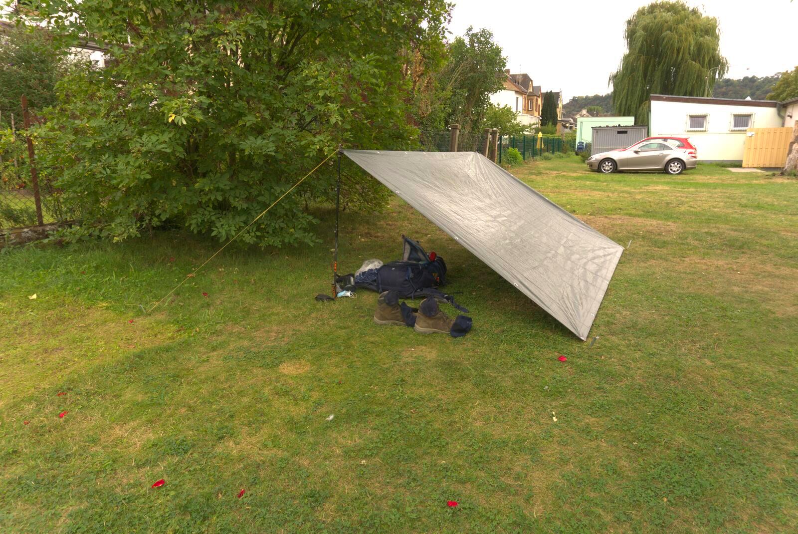
I spent the first and the last two nights at campsites and camped two nights in the forests (even though, it’s actually forbidden). I had only my tarp with me, but that was no problem, because it was warm during the night and hardly rained.
The other equipment consisted – besides the usual stuff – of homemade trekking food (have oriented me to Sacki’s recipes), a solar panel, my summer sleeping bag and my tarp, which is just a diy-store tarpulin.
As backpack I used my Deuter Aircontact 45+10, which was too big for the short tour and thus also brought too much dead weight. During the multi-day tour through the Thuringian Forest I learned from this and used a much smaller backpack.
Day 1: Arrival and first stage
Aug 21, 2020
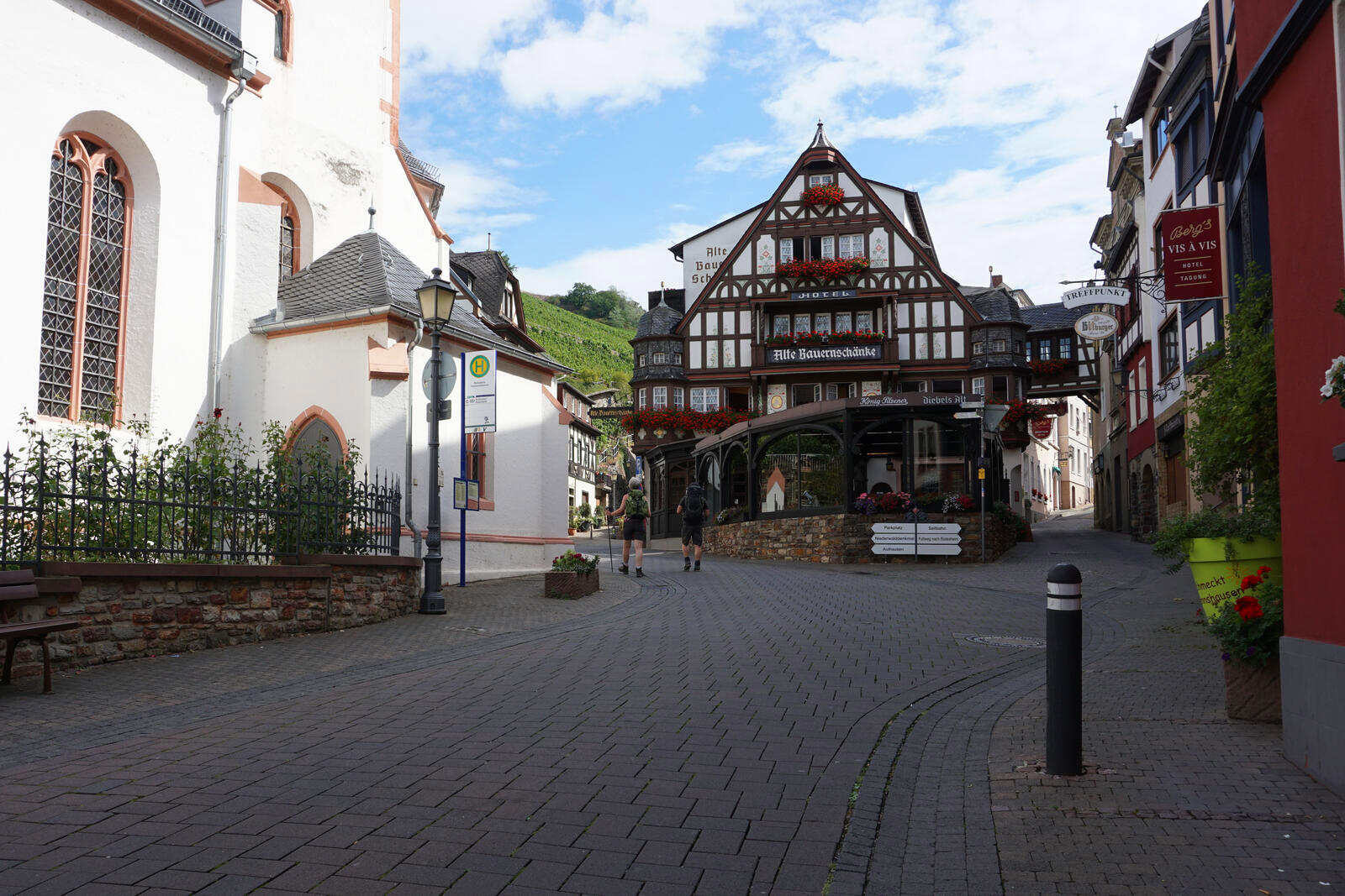
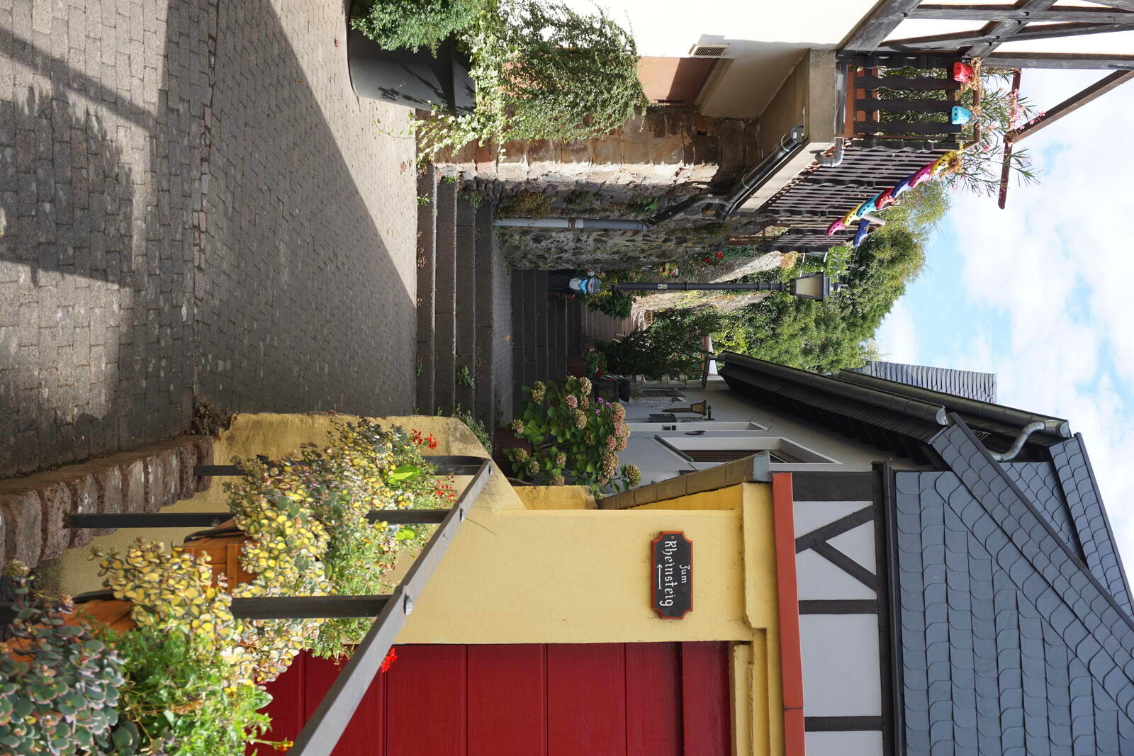
The journey to Assmannshausen went smoothly, all places along the route are very easy to reach by train. Assmannshausen is quite beautiful and not too big, so one can quickly get through the town center to the Rheinsteig, which is well signposted.
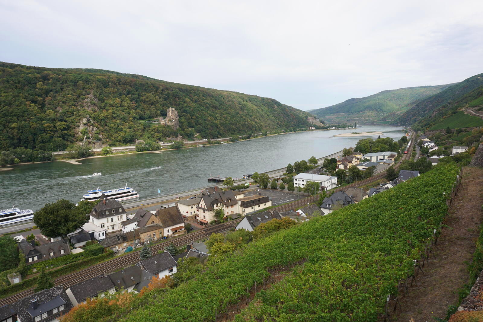
The Rheinsteig is also called Rheinhöhenweg for a reason, it goes straight up the vineyards and one quickly get a nice view. However, when I walked out of the shadows of the buildings into the vineyards, it immediately became blisteringly hot and I immediately noticed how all the walls and stones reflect the heat. That day it was around 95 °F / 35 °C, which in the sunshine and the stone vineyards quickly seems (and probably was) like over 105 °F / 40 °C. Anyway, after about half an hour I was completely wet with sweat and took a break at the shelter and viewpoint Rotweinlaube (translates to red wine abor).
The remaining part of the way led through forest and bushes, where it was still warm, but also somewhat shady. However, that did not keep mosquitoes, flies and other insects from besieging me – well, you can’t have everything.
Since the first stage of the tour was only 7 km long, I arrived much earlier than expected at the nature campsite Surleika, which is not only in the forest, but also in the Rhein-Taunus nature park and right next to the Teufelskadrich near Lorch nature reserve. This makes the camping a bit quieter and closer to nature, for example, the campsite uses natural electricity and a night’s rest is observed.
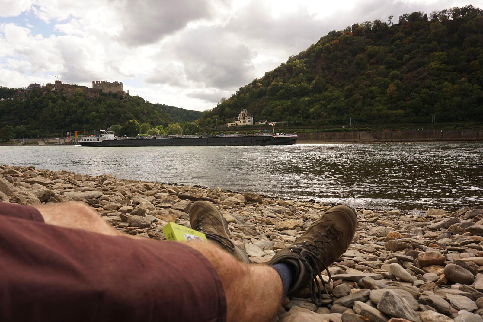
After an impressive sunset over the Rhine, it was off to bed. Even though I drank enough (about 4 L) I developed a decent headache – warm weather just doesn’t suit me.
Day 2: Beautiful views and beautiful places
Aug 22, 2020
It rained a bit during the night, so in the morning everything was a bit wet and cooled down. On the way I was stopped by a group of pensioners who were wondering about my big backpack. After a short chat, I continued.
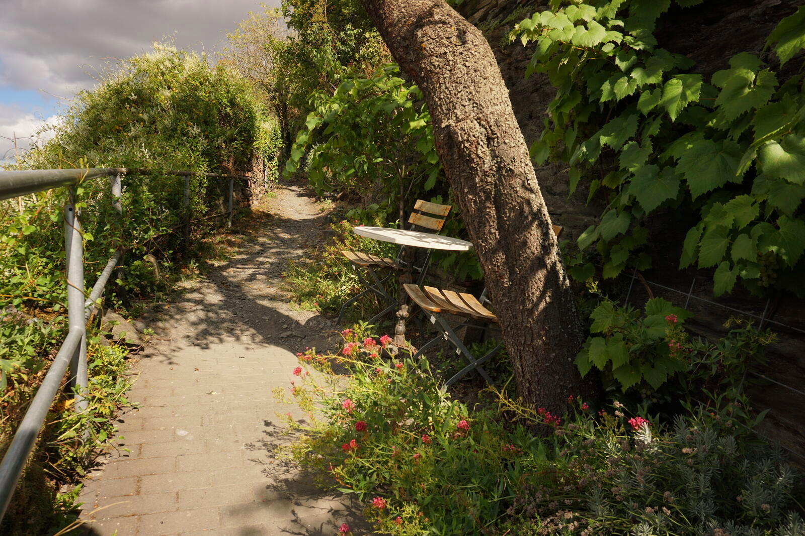
The rest of the tour was not very eventful: Many vineyards, the pretty villages of Lorch and Lorchhausen, and a lot of great views.
In the evening, at about 5 p.m., I then set up camp in the forest a good 1.2 mi / 2 km before Kaub. It was not so easy to find a good place, because the forest was quite light at the place, but on a hilltop I found a good place.
Day 3: Challenging and enchanted paths
Aug 23, 2020
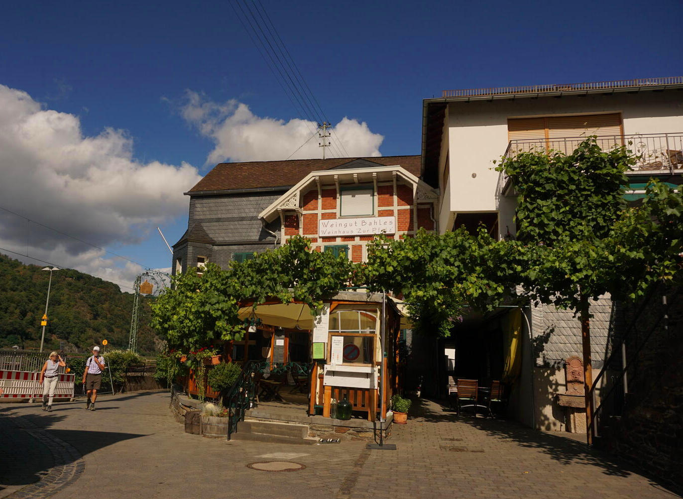
After a restful night without much disturbance, I continued early to Kaub. The Rheinsteig trail passes through the village with a few nice-looking inns and restaurants.
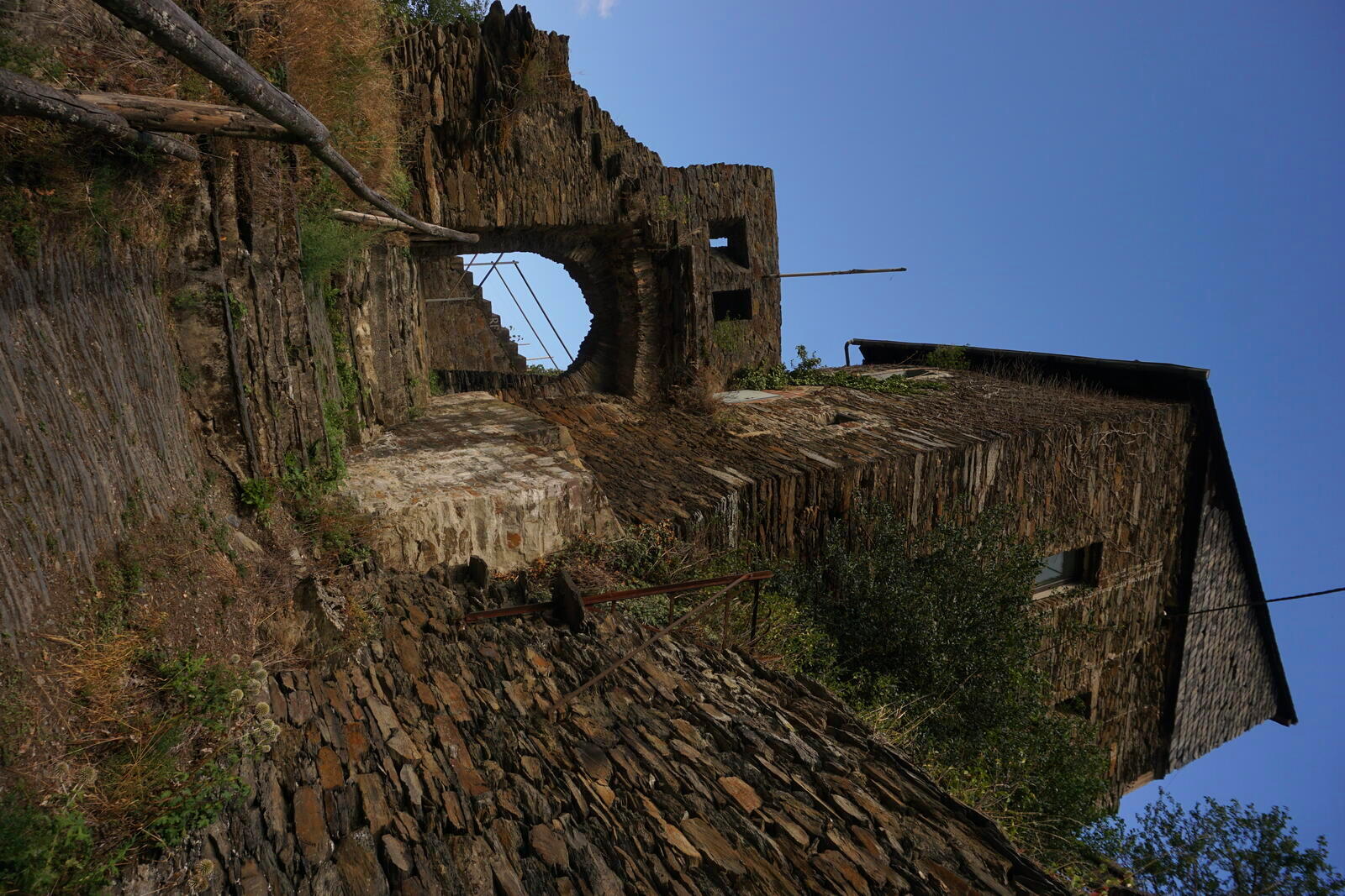
Continue along the foot of Gutenfeld Castle to Philippinenburg (Philippine Castle), which has been inhabited since the Middle Ages until today.
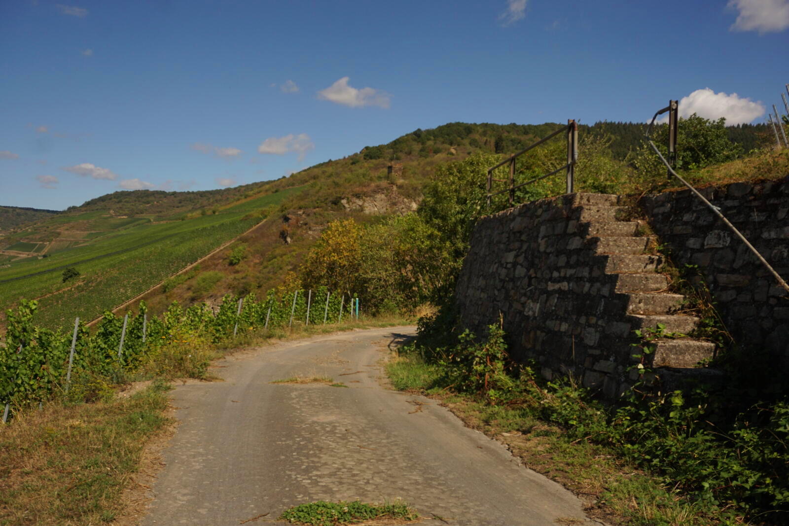
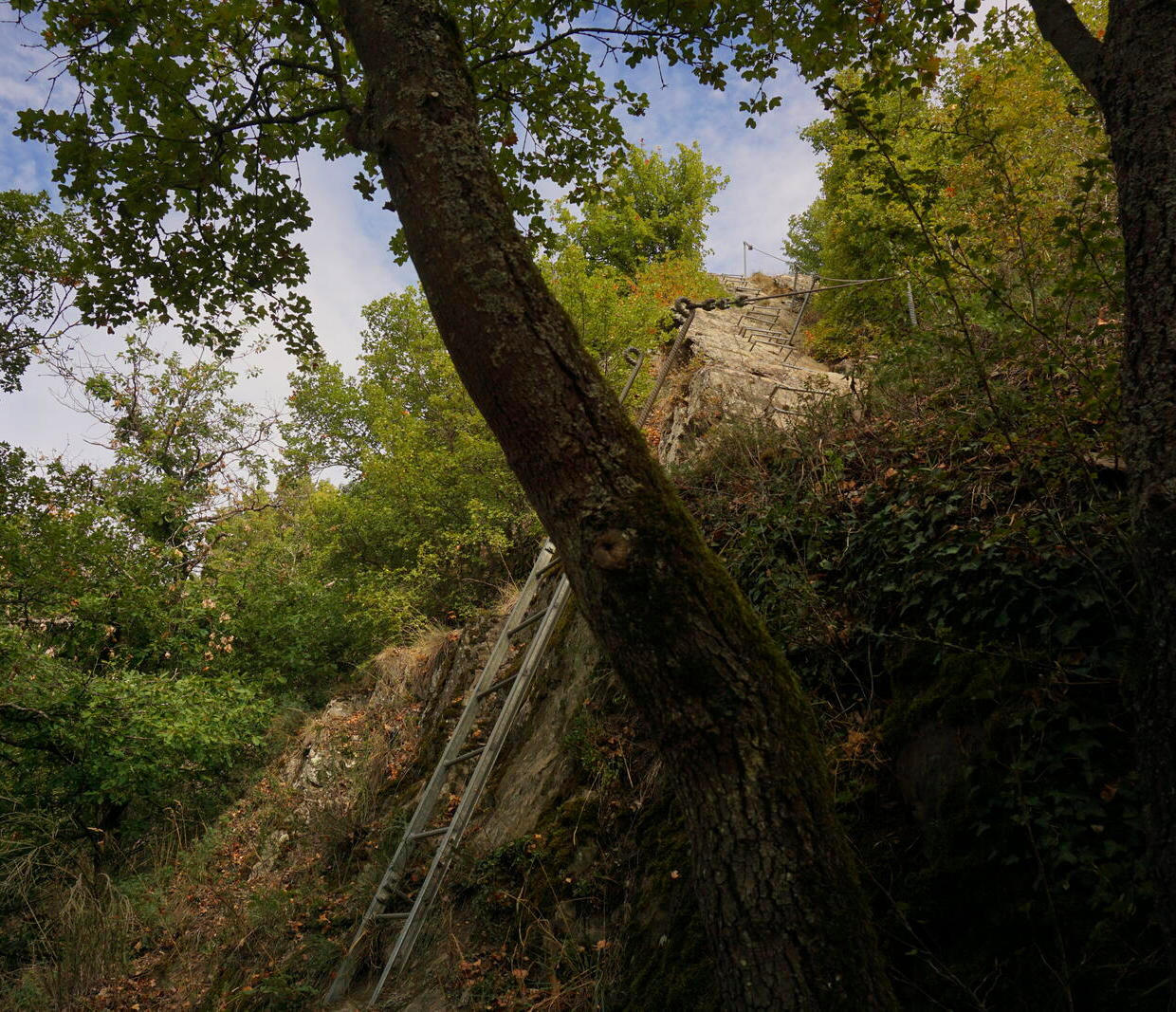
On some trails north of Kaub, one had to be a bit free of giddiness. Without belaying, it sometimes went steeply downhill and only a few old rusty steel beams fixed with simple ropes secured the path from slipping. So there is also a bit of adventure!
It looks quite different a bit further around Dörscheid, there the Rheinsteig leads along various fields. This is not only unsightly, but also very warm, because one has no real shade for about 1.2 mi / 2 km!
This changes, however, near the Viewpoint Hahnenplatte, from which it is again more challenging – the paths almost remind one of via ferrata. A bit further on, at the Felsklippe Rossstein (Rossstein cliff), there is a nice bench with a magnificent view over the Rhine.
After a break with a view over the Rhine, I went on towards the Lennig viewpoint. Unfortunately the trails in that area, however, were closed due to the danger of dying trees, so I set up camp elsewhere nearby.
Day 4: Even more viewpoints and the Loreley cliff
Aug 24, 2020
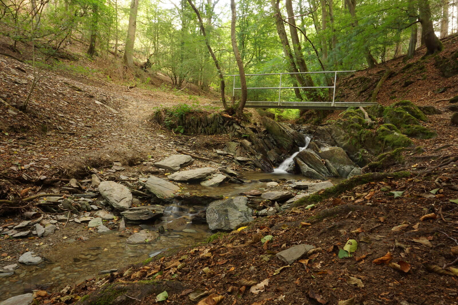
Despite much rustling around me, I was well rested when I moved on about 9:30 a.m. The first stop was at the Bornichbach stream with a small waterfall, where I could fill my water bottle. Even though the water was very clear, I still filtered it – better safe than sorry.
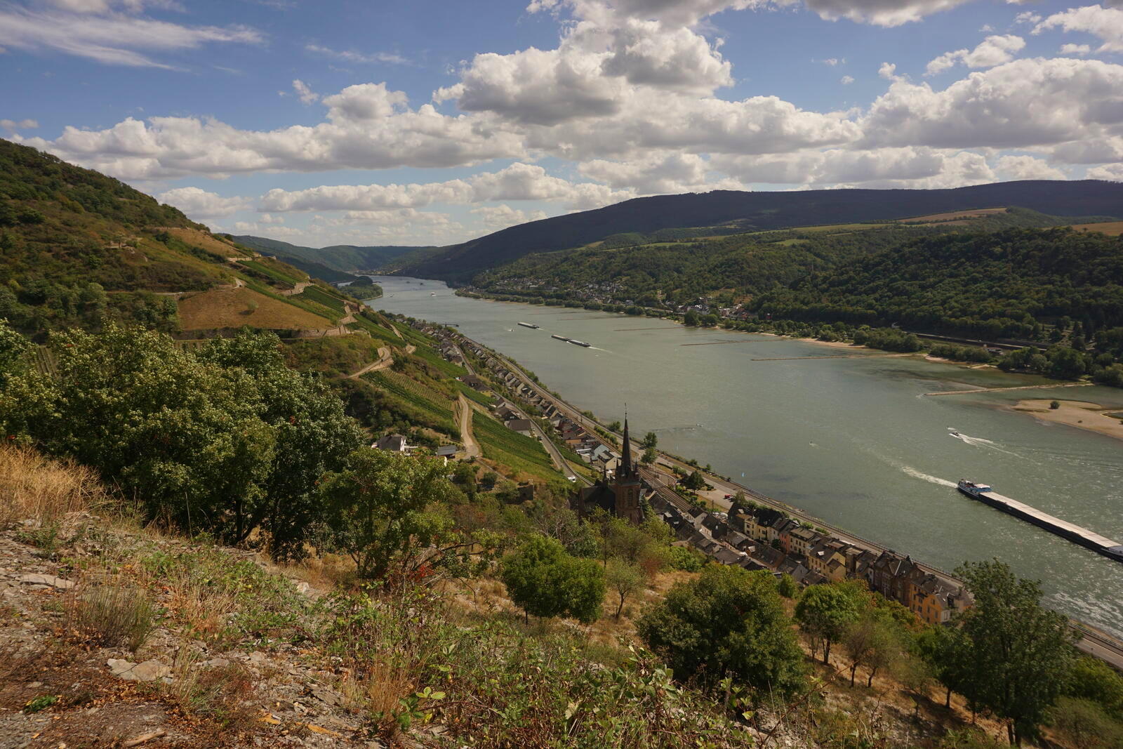
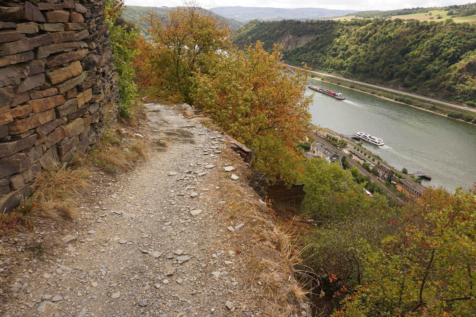
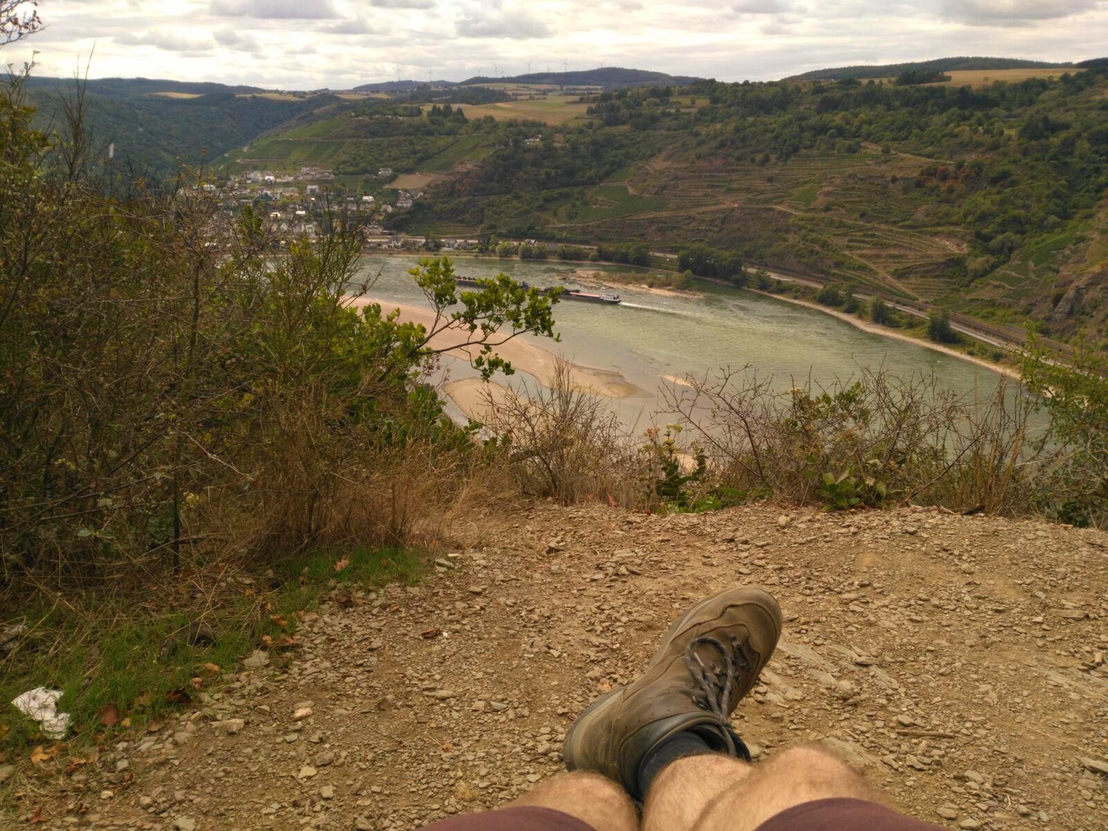
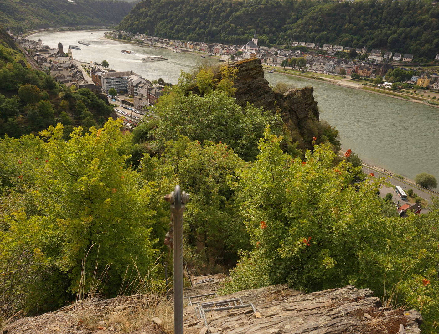
After another 1.2 mi / 2 km I arrived at the rock formations and viewpoints Spitznack. From several places there, one have unobstructed views over the Rhine gorge from Loreley to the cliff Rossstein.
The viewpoints here have partly no railing and no belaying!
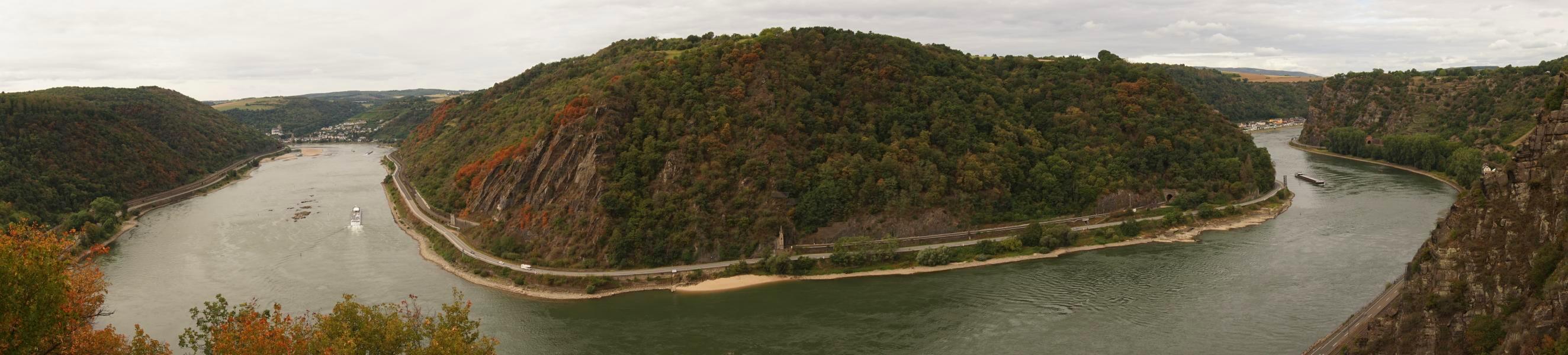
After about another 1.2 mi / 2 km I came to the Loreley cliff, which of course I couldn’t miss because of the legend. However, the whole area is incredibly touristy prepared and accordingly overcrowded. In addition to a campsite and restaurants, there is also a summer toboggan run, an open-air theater, a visitor center, man-made paths (“Mythenpfad”) and – get this – officially designated photo spots for taking selfies! At the time of my visit, construction work for a hotel was also underway. So all in all, it’s pretty horrible for outdoor enthusiasts.
Hardly any visitors had the idea to go hiking in the surrounding area to find the much better spot at Spitznack, for example. But that fine with me, so it was almost deserted before and after the Loreley.
After a short time and a few photos, I went on to the pretty village of St. Goarshausen. The campsite Loreleystadt, where I set up my last camp for two nights, is directly next to the river.
Day 5: Day tour on the via ferrata Rabenacksteig
Aug 25, 2020
The last day of my trip consisted only of a day tour in the area. North of St. Goarshausen there is the Rabenacksteig, an easy via ferrata with beautiful viewpoints. It is not particularly long (about 0.3 mi / 500 m) and quite suitable for beginners. You should definitely wear sure-footed shoes and also be somewhat free from giddiness, but you don’t necessarily need further equipment (e.g. a via ferrata set).
I can definitely recommend to do this trail, more information can be found in the via ferrata portal via-ferrata.de (German only).
Conclusion
A really nice tour that I can highly recommend!
I will definitely do other parts of the Rheinsteig at some point. There were only a few sections that could have been avoided, which actually only concerns the fields near Dörscheid, the rest was like from a picture book.
I generally advise cooler weather and hiking poles, because you put back so some meters in altitude, which was not good for one of my knees. During this tour of 27 mi / 44 km, I encountered about 5580 ft / 1.7 km of ascent and descent with only a few passages without significant slope.
A final tip:
On the other side of the Rhine is the Rheinburgenweg (Rhine castle trail).
The Rheinsteig also leads past some castles and ruins, but most of the gems are on the other side of the Rhine, so that castle lovers get their money’s worth there.